Shenandoah National Park Maps covering the northern, central and southern sections of the Park.
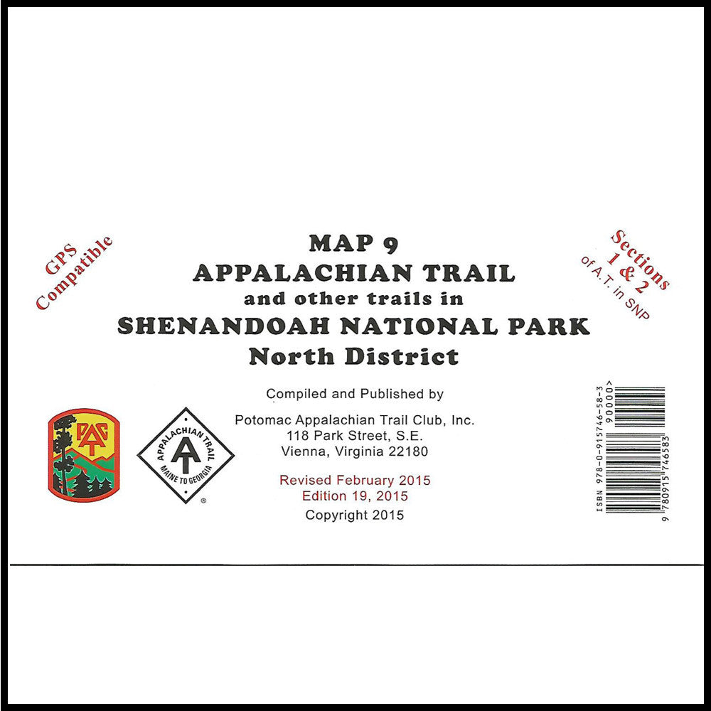
Map 9 (Northern Section) covers the northern-most section of the Shenandoah National Park in Virginia. Front Royal, Virginia to Luray, Virginia (Route 211). Guide for Shenandoah National Park, Appalachian Trail and all side trails in the North District of Shenandoah National Park. The book Trout Fishing in the Shenandoah National Park keys stream locations to this map series (Map 9, 10, 11). Printed on water-resistant, tear-resistance synthetic stock in 6 colors. Scale 1:62,500.
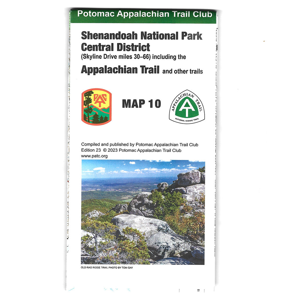
Map 10 (Central Section) covers Thornton Gap (Route 211) to Swift Run Gap (Route 33) Guide for Shenandoah National Park, Appalachian Trail and all side trails in the Central District of Shenandoah National Park. The book Trout Fishing in the Shenandoah National Park keys stream locations to this map series (Map 9, 10, 11). Printed on water-resistant, tear-resistance synthetic stock. Scale 1:62,500. Contour interval 100 feet.
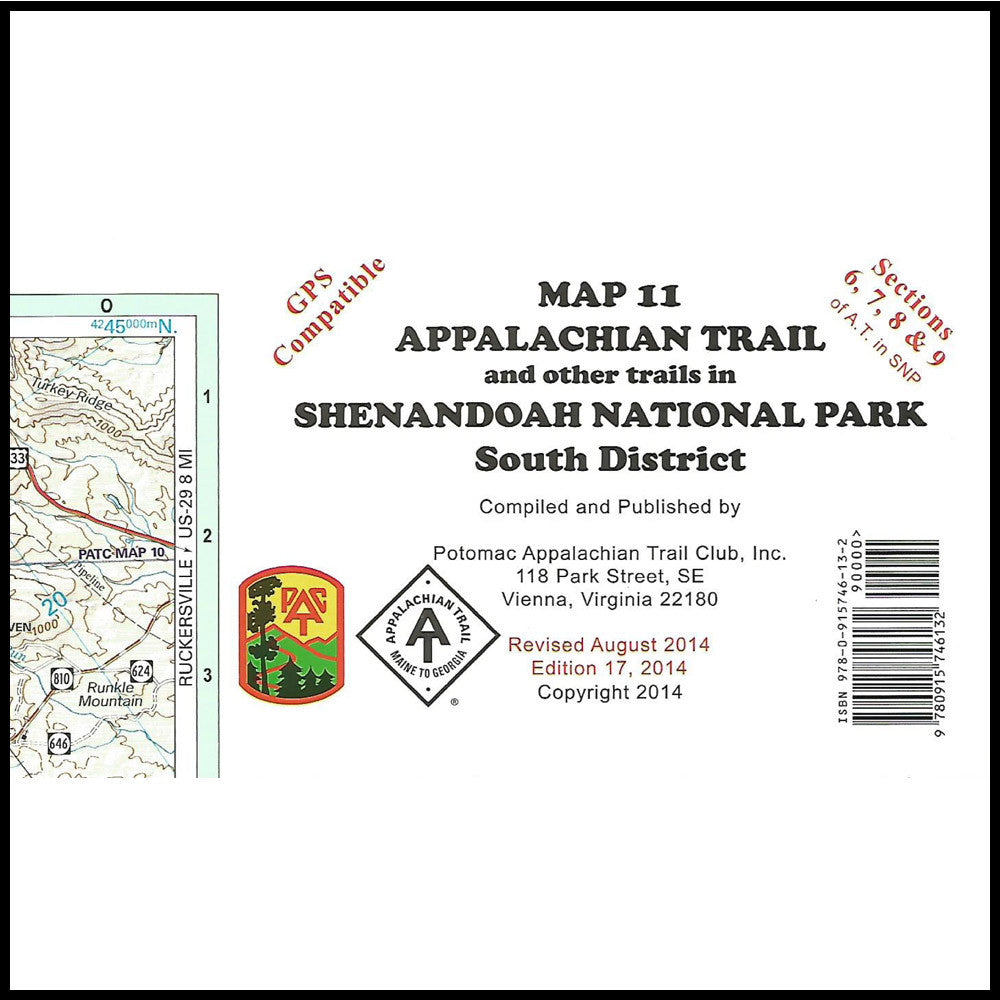
Map 11 (Southern Section) covers Swift Run Gap (Route 33) to Afton Mountain (I-64, Route 250). Guide for Shenandoah National Park, Appalachian Trail and all side trails in the South District of Shenandoah National Park. It includes detailed enlargements of the Loft Mountain, Blackrock and Rockfish Gap areas. The book Trout Fishing in the Shenandoah National Park keys stream locations to this map series (Map 9, 10, 11). Printed on water-resistant, tear-resistance synthetic stock. Scale: 1:63,360. Contour interval 100 feet.
